The Local Government Commission is calling for alternative applications to one received from Western Bay of Plenty District Council in November last year seeking to alter the boundary between Tauranga City and Western Bay at Tauriko West.
The application from the Western Bay of Plenty District Council is part of an initiative with Tauranga City Council, Bay of Plenty Regional Council and the New Zealand Transport Agency to provide for urban development at Tauriko West.
Part of the proposed urban growth area at Tauriko West is located within the Western Bay of Plenty District. Tauranga City Council is well placed to provide future servicing and administration of the area, which will complement development at The Lakes.
In signing off the application to the Local Government Commission, Western Bay of Plenty District Council considered feedback from landowners in the affected area, the wider community, Bay of Plenty Regional Council and Tauranga City Council.
The call for alternative applications by the Local Government Commission is the next step in the process and provides the opportunity for members of the public who may have other ideas about local government in the affected area to put these forward for consideration.
Anyone can submit an alternative application. An alternative application must include a description of the type of local government change or changes proposed, a map or description of the affected area, what the changes are seeking to achieve, and what improvements would result from these changes.
Alternative applications and other proposals must be received at the Local Government Commission Thursday, 18 April 2019. They should be emailed to info@lgc.govt.nz or posted to: Chief Executive Officer, Local Government Commission, PO Box 5362, Wellington 6140.
From the other project partners
Here is an update on the other workstreams led by the Tauriko for Tomorrow project partners.
Change to the urban limits line
Bay of Plenty Regional Council’s Change 4 (Tauriko West Urban Limit) was incorporated into the Regional Policy Statement and became operative from 30 October 2018.
It amends the urban limit line to enable the delivery of urban development at Tauriko West and was prepared in accordance with the new RMA streamlined planning process direction from the Minister for the Environment which was gazetted on 28 February 2018.
Structure planning
Tauranga City Council is working on delivering detailed technical assessments and modelling as a strategic basis for the future structure plan.
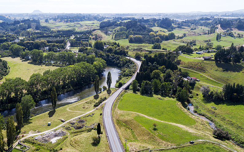
A key piece of work is detailed flood modelling to understand the potential displacement effects on the Wairoa River of the proposed development. This will help us identify appropriate landform solutions for Tauriko West.
This flood modelling will also be used to prepare a comprehensive stormwater consent, which will aim to better manage urban stormwater in the growth area, to improve water quality and protect our waterways.
In addition we are planning access for water and wastewater infrastructure, to determine how we can integrate the growth area with Tauranga City Council’s existing infrastructure network.
We continue to engage with tangata whenua on these matters and will look to prepare a management plan for recognition of tangata whenua throughout the growth area.
Tauranga City Council will ultimately prepare a draft structure plan for review by the community as the project progresses.
Transport: the Tauriko Network Plan
The Tauriko Network Plan was one of a number of projects reviewed by the NZ Transport Agency to evaluate whether they align with the new vision for our transport network.
The re-evaluation was completed and the outcome announced in October 2018: www.nzta.govt.nz/projects/tauriko-network-plan
The Transport Agency is currently considering funding and timing for the Tauriko Network Plan against funds available nationally.